Polynesian Navigation and Settlement
Explore the incredible navigational skills of Polynesian voyagers who settled vast areas of the Pacific Ocean using traditional methods.
TL;DR:Active learning works because Polynesian navigation demands tactile, spatial, and collaborative thinking that textbooks cannot convey. Students grasp wayfinding by moving their bodies, handling materials, and debating in real time, which builds lasting understanding of both cultural practices and geographical concepts.
About This Topic
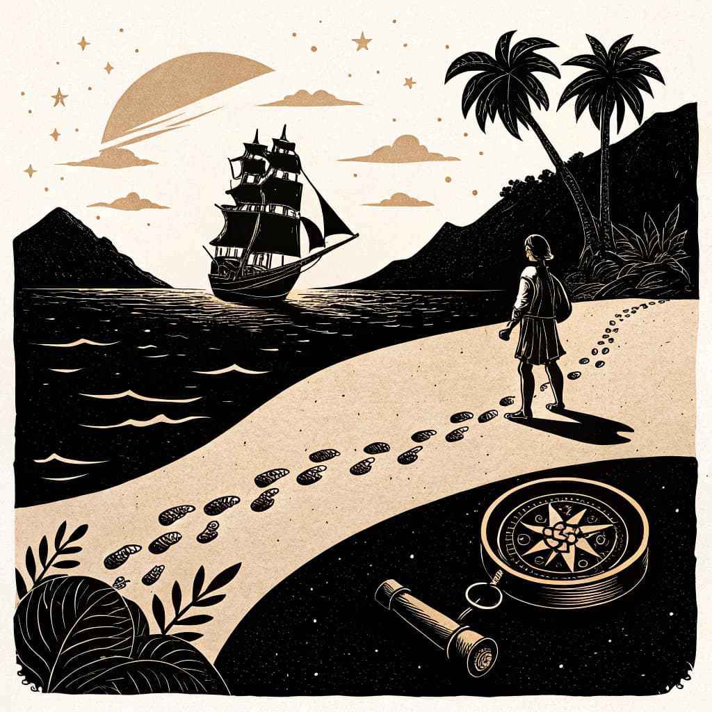
Polynesian navigation involved masterful wayfinding techniques that enabled voyagers to settle remote Pacific islands over centuries. Year 4 students examine how navigators read stars, ocean swells, winds, birds, and currents to travel thousands of kilometres without instruments. They connect this to ACARA HASS standards on exploration by analysing voyages from islands like Tonga to Hawaii and New Zealand, focusing on deliberate settlement patterns supported by archaeology and oral histories.
This topic develops skills in historical inquiry, such as evaluating evidence and comparing cultural perspectives. Students contrast Polynesian methods, rooted in ancestral knowledge and community expansion, with European approaches using compasses, maps, and motives like trade or empire-building. Challenges such as unpredictable weather and resource scarcity highlight human adaptation and resilience.
Active learning benefits this topic greatly because wayfinding concepts are experiential. When students simulate voyages with stick charts, body cues for swells, or classroom ocean models, they internalise complex spatial skills, build empathy for cultural practices, and retain details through movement and collaboration.
Key Questions
- Explain the traditional wayfinding techniques used by Polynesian navigators.
- Analyze the challenges and achievements of settling remote Pacific islands.
- Compare Polynesian exploration with European exploration methods and motivations.
Learning Objectives
- Explain the traditional wayfinding techniques used by Polynesian navigators, including star patterns, ocean swells, and bird migration.
- Analyze the challenges faced by Polynesian voyagers during long sea journeys and the settlement of remote Pacific islands.
- Compare and contrast the navigational tools and motivations of Polynesian explorers with those of European explorers.
- Identify at least three pieces of evidence, such as archaeological findings or oral histories, that support the understanding of Polynesian settlement patterns.
Before You Start
Why: Students need a basic understanding of the Earth's geography, including the vastness of the Pacific Ocean, to comprehend the scale of Polynesian voyages.
Why: Understanding that different places have unique features and resources is foundational for analyzing the challenges and successes of settling new islands.
Key Vocabulary
| Wayfinding | The traditional art of navigation used by Polynesian peoples, relying on natural cues rather than instruments to travel across the ocean. |
| Star compass | A mental map of the stars used by navigators to determine direction and position at sea, with specific stars rising and setting at particular points on the horizon. |
| Ocean swells | Rhythmic movements of water on the ocean surface, which Polynesian navigators could read to determine direction and proximity to land, even when land was not visible. |
| Etak | A conceptual system of navigation where the navigator mentally anchors the canoe to a reference island, allowing them to navigate by observing the movement of other islands relative to this fixed point. |
Watch Out for These Misconceptions
Common MisconceptionPolynesian voyagers drifted by accident to discover islands.
What to Teach Instead
Navigators planned double-hulled canoe voyages using precise wayfinding. Role-playing simulations with cues like stars and swells lets students experience the skill required, correcting luck-based ideas through trial and peer feedback.
Common MisconceptionPolynesians used maps and compasses like Europeans.
What to Teach Instead
They relied on mental maps, oral knowledge, and natural signs. Hands-on stick chart building reveals how tactile tools encoded routes, helping students visualise differences and value diverse methods.
Common MisconceptionSettling Pacific islands faced no major challenges.
What to Teach Instead
Voyagers managed storms, isolation, and scarce resources through preparation. Group discussions of model voyages highlight adaptations, shifting views from simplistic success to resilient problem-solving.
Active Learning Ideas
See all activities→Simulation Game
Star Path Navigation
In a darkened space, project star patterns or use lamps on a large Pacific map floor. Small groups follow star cues, wind directions from fans, and bird markers to plot a voyage route. Groups share and compare paths at the end.
Experiential Learning
Pairs: Swell and Bird Wayfinding Cards
Pairs create and swap cards describing ocean swells, bird flights, and cloud formations as navigation cues. They then use cards to guide each other across a taped ocean grid, noting decisions. Discuss accuracy as a class.
Experiential Learning
Whole Class: Stick Chart Construction
Provide shells, sticks, and paper for students to build a model stick chart of Pacific routes. Teacher demonstrates basic patterns, then students label cues and test by tracing voyages. Display charts for peer review.
Real-World Connections
- The Polynesian Voyaging Society uses traditional canoes like the Hōkūleʻa to retrace ancient voyages, demonstrating the viability of these methods and educating the public about cultural heritage. This work connects to modern maritime studies and cultural preservation efforts.
- Modern meteorologists and oceanographers study ocean currents and weather patterns, building upon the deep observational knowledge of natural systems that Polynesian navigators possessed. Understanding these natural phenomena is crucial for shipping, fishing, and climate science today.
Assessment Ideas
Pose the question: 'Imagine you are a young Polynesian apprentice navigator. What are the three most important things you need to observe and remember to successfully reach a new island?' Have students discuss in pairs and then share their top observations with the class.
Provide students with a simple map showing two islands and a starting point. Ask them to draw arrows indicating the likely direction of travel based on a given wind direction and a common bird migration path. They should label their arrows with the type of cue used (wind, bird).
On an index card, ask students to write one sentence comparing a Polynesian wayfinding technique with a modern navigation tool (like a GPS). Then, ask them to list one challenge faced by Polynesian settlers on a new island.
Frequently Asked Questions
What traditional wayfinding techniques did Polynesian navigators use?
How did Polynesians overcome challenges in settling remote islands?
How to compare Polynesian and European exploration for Year 4?
How can active learning help students understand Polynesian navigation?
More in The Journey of Exploration
Motivations for Global Exploration
Examine the diverse reasons behind the Age of Exploration, including trade routes, resource acquisition, religious spread, and national prestige.
8 methodologies
Navigational Tools and Techniques
Explore the technologies and methods used by explorers to navigate vast oceans, from the astrolabe and compass to celestial navigation.
8 methodologies
Life Aboard an Explorer's Ship
Simulate the daily life, hardships, and dangers faced by sailors on long exploration voyages, including disease, storms, and limited resources.
8 methodologies
Famous Explorers and Their Routes
Trace the journeys of key global explorers (e.g., Columbus, Magellan, Cook), mapping their routes and understanding their 'discoveries'.
8 methodologies
Impact on Indigenous Peoples Globally
Examine how European exploration affected Indigenous peoples around the world, including cultural clashes, disease, and displacement.
8 methodologies
Mapping the Changing World
Investigate how exploration led to new maps and a changing understanding of the world, from early flat maps to more accurate globes.
8 methodologies