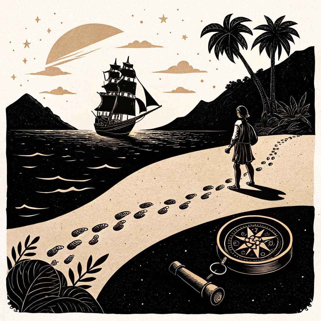
Navigational Tools and Techniques
Explore the technologies and methods used by explorers to navigate vast oceans, from the astrolabe and compass to celestial navigation.
TL;DR:Active learning helps Year 4 students grasp how navigational tools worked in context. Building a compass or measuring angles with a simulated astrolabe makes abstract concepts concrete, while mapping and relay activities show how explorers combined tools to solve real problems at sea.
About This Topic
Navigational tools and techniques allowed early explorers to traverse vast oceans, using devices like the astrolabe and compass alongside celestial navigation. Year 4 students investigate the astrolabe's role in measuring angles between celestial bodies and the horizon to calculate latitude, and the compass's reliance on Earth's magnetic field for direction. They analyze challenges such as variable winds, ocean currents, faulty instruments, and incomplete charts, which often led to lost ships or delayed voyages.
This topic integrates history, geography, and culture by comparing European tools with Indigenous Australian wayfinding practices, which drew on stars, tidal patterns, animal behaviors, and oral knowledge passed through generations. Students build skills in explaining functions, evaluating limitations, and making evidence-based comparisons, directly supporting AC9HASS4S04 and AC9HASS4K02.
Active learning excels with this content because students replicate tools through construction and simulations. Building compasses from household items or sighting stars with protractors turns theoretical knowledge into personal discovery, strengthens spatial reasoning, and sparks discussions on cultural perspectives.
Key Questions
- Explain how early navigational tools like the astrolabe and compass functioned.
- Analyze the challenges of accurate navigation before modern technology.
- Compare European navigational methods with traditional Indigenous wayfinding techniques.
Learning Objectives
- Explain the function of the astrolabe in determining latitude by measuring the angle of celestial bodies.
- Demonstrate how a magnetic compass indicates direction by aligning with Earth's magnetic field.
- Analyze the limitations and inaccuracies faced by early navigators due to environmental factors and instrument precision.
- Compare and contrast European navigational tools and methods with traditional Indigenous Australian wayfinding techniques.
- Identify key celestial bodies and natural indicators used in both European and Indigenous navigation.
Before You Start
Why: Students need to understand map elements like directions and basic symbols to comprehend navigational concepts.
Why: Understanding how the Earth rotates and the apparent movement of the sun is foundational for grasping celestial navigation principles.
Key Vocabulary
| Astrolabe | An ancient astronomical instrument used to measure the altitude of celestial objects above the horizon, helping to determine latitude. |
| Compass | A navigational instrument that shows direction relative to the geographic cardinal directions (or points), by means of a magnetized needle or other element, basically free to align itself with magnetic north. |
| Celestial Navigation | The process of finding one's position or course by reference to the apparent positions of the sun, moon, stars, and other celestial bodies. |
| Latitude | The angular distance, north or south of the equator, measured in degrees. |
| Wayfinding | A system of navigation, often using natural cues like stars, currents, and animal behavior, passed down through generations, particularly in Indigenous cultures. |
Watch Out for These Misconceptions
Common MisconceptionCompasses always point to true geographic north.
What to Teach Instead
Compasses align with magnetic north, which shifts and differs from true north; demonstrations with bar magnets and maps reveal declination. Hands-on calibration activities help students adjust readings and understand why explorers cross-checked with stars.
Common MisconceptionAstrolabes worked only at night with stars.
What to Teach Instead
Astrolabes measured sun altitudes by day for latitude too; students sighting both in simulations correct this by logging times and angles. Peer comparisons during activities expose the error and build accurate models.
Common MisconceptionIndigenous wayfinding was less accurate than European tools.
What to Teach Instead
Indigenous methods integrated multiple reliable cues like winds and birds over millennia; collaborative mapping tasks show their precision for local seas. Discussions highlight evidence from successful voyages, valuing diverse knowledge.
Active Learning Ideas
See all activities→Mystery Object
Hands-On: Construct a Simple Compass
Provide bowls of water, cork, magnetized needles, and markers. Students float corks with needles to observe magnetic north alignment, then test in different orientations. Discuss why it points north and record directions on class charts.
Simulation Game
Astrolabe Angle Measurement
Students craft paper astrolabes with strings and protractors. They measure angles to classroom 'stars' (lights at heights) or sun shadows outside, calculate mock latitudes, and compare results in pairs.
Concept Mapping
Indigenous vs European Wayfinding
Provide maps showing Torres Strait Islander star paths and European trade routes. Groups plot journeys using compasses and string lines, noting differences in cues like currents versus instruments, then share findings.
Real-World Connections
- Modern-day sailors and pilots still use principles of celestial navigation as a backup to GPS systems, especially in remote oceanic areas where satellite signals can be unreliable.
- Cartographers and geographers use historical navigational data to understand past exploration routes and to create accurate maps of coastlines and landmasses, aiding in resource management and conservation efforts.
- Indigenous communities across Australia continue to practice and teach traditional wayfinding techniques, connecting younger generations to their cultural heritage and the natural environment.
Assessment Ideas
Present students with images of an astrolabe and a compass. Ask them to write one sentence for each explaining its primary function in navigation and one challenge early explorers faced when using it.
Facilitate a class discussion using the prompt: 'Imagine you are an explorer in the 16th century. Which tool, the astrolabe or the compass, would you find more crucial for your journey, and why? Consider the limitations of each.'
Give each student a card with two columns: 'European Tools' and 'Indigenous Wayfinding'. Ask them to list at least two methods or indicators used in each category and one similarity between the two approaches.
Frequently Asked Questions
How did the astrolabe help explorers find latitude?
What challenges did explorers face before modern navigation?
How does active learning benefit teaching navigational tools?
How do European and Indigenous navigation methods compare?
More in The Journey of Exploration
Motivations for Global Exploration
Examine the diverse reasons behind the Age of Exploration, including trade routes, resource acquisition, religious spread, and national prestige.
8 methodologies
Life Aboard an Explorer's Ship
Simulate the daily life, hardships, and dangers faced by sailors on long exploration voyages, including disease, storms, and limited resources.
8 methodologies
Famous Explorers and Their Routes
Trace the journeys of key global explorers (e.g., Columbus, Magellan, Cook), mapping their routes and understanding their 'discoveries'.
8 methodologies
Impact on Indigenous Peoples Globally
Examine how European exploration affected Indigenous peoples around the world, including cultural clashes, disease, and displacement.
8 methodologies
Mapping the Changing World
Investigate how exploration led to new maps and a changing understanding of the world, from early flat maps to more accurate globes.
8 methodologies
The Exchange of Goods and Ideas
Explore the 'Columbian Exchange' and other global exchanges of plants, animals, diseases, and technologies resulting from exploration.
8 methodologies