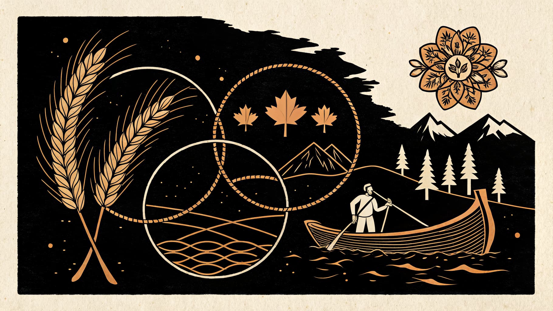
Canada's Major Landform Regions
Students will identify and describe Canada's major landform regions, understanding their geological origins.
TL;DR:Active learning works well for this topic because Canada's landforms are three-dimensional features with visible connections to resources and settlement. When students rotate through stations or manipulate physical models, they build spatial reasoning and geological vocabulary that sticks. The hands-on tasks mirror the dynamic processes that created these regions, making abstract concepts concrete.
About This Topic
This topic introduces students to the physical building blocks of Canada. By exploring the seven distinct landform regions, students learn how ancient tectonic forces and volcanic activity created the Canadian Shield, the Appalachians, and the Western Cordillera. Understanding these foundations is essential for Grade 9 Geography because it explains why Canada's resources, such as minerals in the Shield or fertile soil in the St. Lawrence Lowlands, are located where they are.
Students examine the relationship between geological history and modern economic activity. This connection helps them see geography not just as a study of rocks, but as the basis for Canadian industries and settlement patterns. This topic comes alive when students can physically model the patterns of tectonic movement and visualize the layering of the earth through collaborative builds.
Key Questions
- Differentiate between the formation processes of the Canadian Shield and the Western Cordillera.
- Analyze how the unique characteristics of each landform region influence human settlement patterns.
- Explain the relationship between geological features and the distribution of natural resources across Canada.
Learning Objectives
- Identify and classify Canada's major landform regions based on their geological characteristics.
- Compare the formation processes of at least three distinct Canadian landform regions, such as the Canadian Shield, the Interior Plains, and the Western Cordillera.
- Analyze how the topography and geological history of a specific landform region have influenced historical and contemporary human settlement patterns.
- Explain the relationship between the geological composition of a landform region and the types of natural resources found within it.
Before You Start
Why: Students need a basic understanding of how tectonic plates move and interact to comprehend the formation of mountain ranges and geological features.
Why: Understanding climate helps students connect landform characteristics to environmental factors that influence settlement and resource distribution.
Key Vocabulary
| Canadian Shield | A vast area of ancient igneous and metamorphic rock, rich in mineral deposits, forming the core of the North American continent. |
| Western Cordillera | A series of mountain ranges and valleys in western Canada, formed by tectonic plate collisions and volcanic activity. |
| Appalachian Mountains | An older, eroded mountain range in eastern Canada, formed by ancient continental collisions and volcanic activity. |
| St. Lawrence Lowlands | A fertile, low-lying region in southeastern Canada, characterized by sedimentary rock and glacial deposits, ideal for agriculture. |
| Tectonic Plates | Large, rigid slabs of Earth's lithosphere that move slowly over the asthenosphere, responsible for creating major landforms through collision, separation, or sliding. |
Watch Out for These Misconceptions
Common MisconceptionThe Canadian Shield is a mountain range because it is rocky.
What to Teach Instead
The Shield is actually the eroded core of ancient mountains, now appearing as a vast, relatively flat plateau. Using 3D topographic models helps students see the difference between the jagged peaks of the Cordillera and the scoured surface of the Shield.
Common MisconceptionGeological processes happened only in the distant past.
What to Teach Instead
Tectonic activity is ongoing, particularly on the West Coast. Peer discussions about recent seismic data in British Columbia can help students realize that Canada's geology is still actively changing.
Active Learning Ideas
See all activities→Stations Rotation
Landform Regional Profiles
Set up seven stations representing Canada's landform regions. At each stop, small groups analyze rock samples, topographic maps, and resource data to determine how that region's geology supports local industries.
Inquiry Circle
Tectonic Puzzle
Pairs use physical or digital models to simulate the collision of plates that formed the Western Cordillera. They must explain to a peer how the folding and faulting process created specific mountain ranges.
Gallery Walk
The Resource Connection
Students create visual posters linking a specific geological process to a Canadian resource (e.g., magmatic cooling and nickel). Classmates circulate with sticky notes to identify which regions would be most impacted by changes in those industries.
Real-World Connections
- Geologists working for mining companies analyze the mineral-rich Canadian Shield to identify economically viable deposits of gold, nickel, and diamonds, impacting resource extraction industries in Northern Ontario and Quebec.
- Urban planners in Vancouver, British Columbia, must consider the mountainous terrain of the Western Cordillera when designing transportation networks and housing developments, balancing natural beauty with infrastructure needs.
- Agricultural scientists study the fertile soils of the St. Lawrence Lowlands to optimize crop yields for dairy and grain farming, contributing to Canada's food production and export markets.
Assessment Ideas
Provide students with a map showing outlines of Canada's major landform regions. Ask them to label at least three regions and write one sentence for each describing a key geological characteristic or resource.
Pose the question: 'How does the geological origin of the Canadian Shield make it a prime location for mineral extraction, while the St. Lawrence Lowlands are better suited for agriculture?' Facilitate a class discussion where students use key vocabulary to support their answers.
Students receive a card with the name of a landform region (e.g., Interior Plains). They must write two sentences: one describing its formation and one explaining how its characteristics influence settlement or resource use.
Frequently Asked Questions
What are the seven landform regions of Canada?
How does geology affect where Canadians live?
Why is the Canadian Shield so important for the economy?
How can active learning help students understand geological foundations?
More in Interactions in the Physical Environment
Plate Tectonics & Canadian Geology
Investigating the theory of plate tectonics and its role in shaping Canada's diverse geological foundation.
8 methodologies
Factors Influencing Canadian Climate
Students will analyze the 'LOWER N' factors (latitude, ocean currents, wind, elevation, relief, near water) that determine Canada's climate zones.
8 methodologies
Canada's Climate Regions & Extremes
Examining the characteristics of Canada's major climate regions and the extreme weather events associated with them.
8 methodologies
Glacial Landforms & Freshwater Systems
Investigating the processes of glaciation and how they shaped Canada's landscape, including the formation of the Great Lakes.
8 methodologies
Soils, Vegetation, and Ecozones
Examining the relationship between climate, soil types, and the distribution of natural vegetation and ecozones across Canada.
8 methodologies
Assessing Natural Hazards in Canada
Students will assess the risks and impacts of floods, wildfires, and earthquakes in various Canadian regions.
8 methodologies