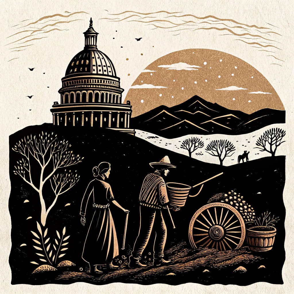
Transportation Revolutions
Students explore the impact of canals, railroads, and early highways on the state's economy and settlement patterns.
About This Topic
Transportation revolutions are the story of how we moved from horse and buggy to trains, cars, and planes. Students explore the impact of canals, railroads, and early highways on our state's economy and where people chose to live. This topic connects to both geography and history standards by showing how transportation networks shape the landscape and connect communities.
Students learn that new ways of traveling made the world feel smaller and allowed for more trade and travel. They also see how some towns grew into cities because they were on a major route, while others disappeared when they were bypassed. This topic comes alive when students can use collaborative investigations to 'map' the growth of transportation in their state and discuss the impact on their own community.
Key Questions
- Analyze how advancements in transportation altered settlement patterns.
- Explain the role of railroads in integrating our state with the national economy.
- Predict the economic and social consequences for towns bypassed by major transportation routes.
Learning Objectives
- Analyze maps to identify patterns of canal, railroad, and highway construction in the state.
- Explain how specific transportation advancements influenced the growth or decline of towns.
- Compare the economic benefits of a town located on a major transportation route versus one that was bypassed.
- Predict the long-term social and economic consequences for communities that did not have access to new transportation technologies.
- Classify different types of transportation (canals, railroads, highways) based on their historical period and impact.
Before You Start
Why: Students need to understand pre-colonial settlement patterns to compare how European-influenced transportation later changed where people lived.
Why: Understanding the state's natural resources and early geographical features provides context for why certain transportation routes were chosen or developed.
Key Vocabulary
| Canal | An artificial waterway constructed to allow the passage of boats or ships inland or to convey water for irrigation. Canals were an early form of large-scale transportation. |
| Railroad | A track or set of tracks made of steel rails along which trains run. Railroads dramatically increased the speed and capacity of long-distance travel and trade. |
| Highway | A main road, especially one connecting major towns or cities. Early highways facilitated the growth of automobile travel and suburban development. |
| Settlement Patterns | The way people have arranged themselves in a particular place over time. Transportation routes significantly influenced where people chose to live and build communities. |
| Economic Integration | The process of connecting different regional economies into a larger, unified economic system. Railroads were crucial for connecting the state to national markets. |
Watch Out for These Misconceptions
Common MisconceptionTransportation has always been as fast as it is now.
What to Teach Instead
Use a chart to compare the time it took to travel across the state by different modes of transportation (e.g., 2 weeks by wagon vs. 4 hours by car). This helps students appreciate the revolutionary impact of new technologies.
Common MisconceptionEveryone was happy when the railroad came to town.
What to Teach Instead
Explain that some people, like stagecoach drivers or canal boat operators, lost their jobs when the railroad arrived. A 'Bypassed!' discussion can help students see the mixed impact of new transportation.
Active Learning Ideas
See all activities→Inquiry Circle
The Railroad Effect
Groups are given a map of the state from before and after the railroad was built. They must identify which towns grew and which stayed the same, and then hypothesize why the railroad made such a difference.
Gallery Walk
Evolution of Travel
Post images of different modes of transportation used in our state over time (e.g., a flatboat, a stagecoach, a steam engine, an early car). Students walk through and note one advantage and one disadvantage of each.
Think-Pair-Share
Bypassed!
Students think about what would happen to a town if a new highway was built ten miles away. They pair up to discuss how the town's businesses and people would be affected and share with the class.
Real-World Connections
- City planners and historical societies often study old maps to understand how past transportation decisions shaped the layout of modern cities like Chicago or St. Louis, identifying areas that grew due to rail lines or river access.
- Logistics managers for companies like Amazon or FedEx constantly analyze transportation networks, including highways and rail lines, to determine the most efficient routes for delivering goods across the country, impacting product availability and cost.
- Tourism boards may promote historical routes, such as the Oregon Trail or Route 66, highlighting how these early highways transformed American travel and led to the development of roadside attractions and towns.
Assessment Ideas
Provide students with a blank map of the state. Ask them to draw and label one canal, one railroad line, and one early highway discussed in class. Then, have them write one sentence explaining how one of these routes impacted settlement.
Pose the question: 'Imagine your town was bypassed by the new railroad. What are two specific challenges your community might face?' Encourage students to think about jobs, access to goods, and population changes.
Present students with images of three different towns: one on a major canal, one near a railroad hub, and one in a rural area without major transport. Ask students to write one sentence describing the likely economic activity in each town and why.
Frequently Asked Questions
What was the most important early form of transportation in our state?
How did the Erie Canal (or a similar project) change things?
Why did some towns disappear when the railroad was built?
How can active learning help students understand transportation revolutions?
Planning templates for State History & Geography
5E Model
The 5E Model structures lessons through five phases (Engage, Explore, Explain, Elaborate, and Evaluate), guiding students from curiosity to deep understanding through inquiry-based learning.
Unit PlannerThematic Unit
Organize a multi-week unit around a central theme or essential question that cuts across topics, texts, and disciplines, helping students see connections and build deeper understanding.
RubricSingle-Point Rubric
Build a single-point rubric that defines only the "meets standard" level, leaving space for teachers to document what exceeded and what fell short. Simple to create, easy for students to understand.
More in Statehood & Growth
The Journey to Statehood
Students explore the events and decisions that led our territory to become a state, including the debates and symbols of identity.
3 methodologies
Forces of Growth & Transformation
Students examine how migration, industry, railroads, and invention transformed small settlements into cities and farmland into industry.
3 methodologies
Influential Historical Figures
Students research leaders, innovators, activists, and everyday people who made a lasting impact on their community and state.
3 methodologies
Immigration and Internal Migration
Students investigate the stories of different groups of people who moved to our state from other countries and other parts of the U.S.
3 methodologies
Analyzing Primary & Secondary Sources
Students learn to differentiate between primary and secondary sources and use them to gather information about historical events in the state.
3 methodologies
Understanding Historical Timelines
Students construct and interpret timelines to sequence major events in the state's history from territory to statehood.
3 methodologies