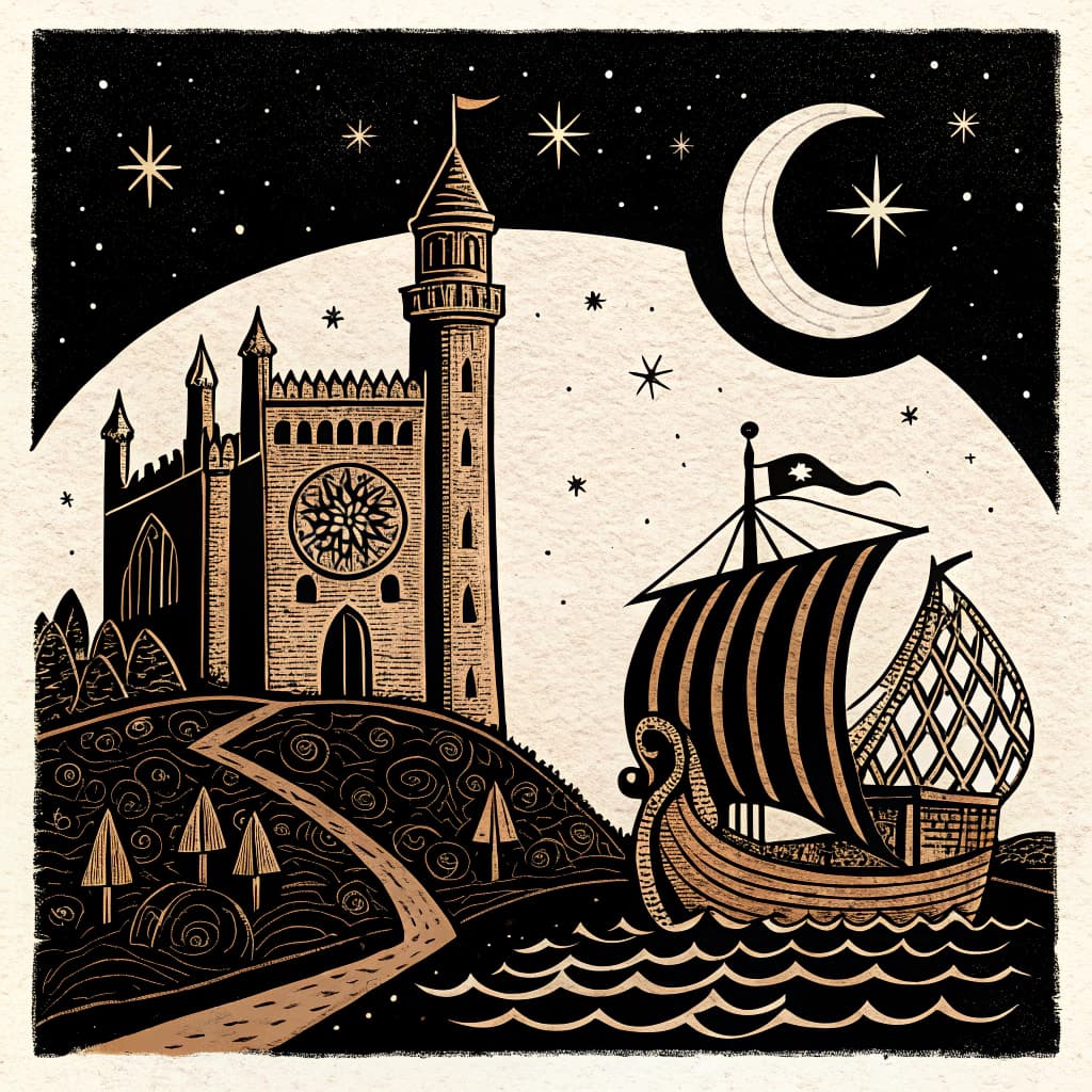
Khmer Trade and Regional Influence
Students will examine the Khmer Empire's economic networks, trade relationships with neighboring states, and its regional dominance.
TL;DR:Active learning works for this topic because trade networks are spatial and relational, best understood when students physically trace routes and negotiate exchanges. Students engage with economic history not as passive listeners but as cartographers, negotiators, and analysts, which builds lasting understanding of how goods, power, and culture moved across Southeast Asia.
About This Topic
The Khmer Empire's trade networks linked Angkor to vibrant markets across Southeast Asia, including China, India, and neighboring kingdoms. Students analyze key goods such as rice, spices, ivory, elephants, and precious metals, which fueled economic growth, temple construction, and urban expansion. Overland routes along the Mekong River complemented maritime paths through ports like those connected to the Funan network, enabling bulk transport and long-distance exchange.
This content supports AC9H8K10 by addressing economic significance, regional influence via tribute systems, military campaigns, and alliances with states like the Cham and Dai Viet, plus maritime trade's role in cultural diffusion of art, religion, and technology. Students evaluate primary sources like inscriptions and Chinese records to trace power dynamics and interconnected histories.
Active learning suits this topic well. When students map trade routes with string and pins, barter commodities in role-plays, or analyze artifact replicas at stations, distant economic systems become immediate and interactive. These methods build spatial awareness, negotiation skills, and critical thinking about influence, making abstract regional dominance concrete and engaging.
Key Questions
- Analyze the key goods traded by the Khmer Empire and their economic significance.
- Explain how the Khmer Empire exerted influence over neighboring Southeast Asian kingdoms.
- Evaluate the impact of maritime trade routes on the Khmer economy and cultural exchange.
Learning Objectives
- Analyze the primary goods traded by the Khmer Empire and explain their economic significance to Angkor.
- Compare the methods by which the Khmer Empire exerted regional influence over neighboring kingdoms.
- Evaluate the impact of specific maritime trade routes on Khmer economic development and cultural diffusion.
- Identify key trading partners of the Khmer Empire and map their geographical locations relative to Angkor.
Before You Start
Why: Students need a foundational understanding of the region's physical features, including major rivers and coastlines, to comprehend trade routes and geographical influence.
Why: Students should have a general understanding of what constitutes an ancient civilization, including concepts of governance, economy, and societal structure, to contextualize the Khmer Empire.
Key Vocabulary
| Tribute System | A system where subordinate states or rulers send regular payments or gifts to a more powerful state, acknowledging its dominance and often receiving protection in return. |
| Maritime Trade | The exchange of goods and services conducted via sea routes, crucial for long-distance commerce and connecting distant civilizations. |
| Angkor | The vast capital city of the Khmer Empire, renowned for its monumental architecture and as the center of its economic and political power. |
| Mekong River | A major river flowing through Southeast Asia, serving as a vital artery for transportation and trade within and beyond the Khmer Empire. |
| Spices | Aromatic plant products, such as pepper, cloves, and cinnamon, highly valued in ancient trade for their use in food preservation, medicine, and flavoring. |
Watch Out for These Misconceptions
Common MisconceptionThe Khmer Empire relied only on overland trade and ignored the sea.
What to Teach Instead
Maritime routes via allied ports were vital for high-volume goods like spices to China. Mapping activities help students visualize both networks, correcting the inland-only view by tracing sea paths on overlays.
Common MisconceptionTrade between Khmer and neighbors was always equal exchange.
What to Teach Instead
Khmer often imposed tribute, asserting dominance. Role-play negotiations expose imbalances, as students experience unequal bargaining, leading to discussions on power in economic relationships.
Common MisconceptionTrade had no lasting cultural impact beyond goods.
What to Teach Instead
Ideas like Hindu temple designs spread widely. Artifact station rotations connect objects to influences, helping students see trade as a vector for religion and art across kingdoms.
Active Learning Ideas
See all activities→Simulation Game
Map Simulation: Khmer Trade Routes
Provide large maps of Southeast Asia marked with Khmer territories. Students in groups use string to connect ports and cities, add commodity icons along routes, and note barriers like mountains. Discuss how geography shaped trade choices.
Simulation Game
Role-Play: Trade Negotiation
Assign roles as Khmer merchants, Chinese traders, or Cham envoys. Pairs negotiate exchanges of rice for silk using scripted prompts and commodity cards. Debrief on power imbalances revealed in deals.
Stations Rotation
Goods Analysis
Set up stations for rice agriculture models, spice trade replicas, ivory carvings, and metal ingots. Groups rotate, recording economic roles and evidence from sources. Share findings in a class gallery walk.
Real-World Connections
- Modern-day archaeologists and historians analyze trade manifests and port records from ancient civilizations, much like studying Khmer trade records, to understand global economic connections and cultural exchanges.
- International trade specialists and logistics managers today plan complex supply chains for goods like rice and spices, mirroring the challenges and strategies used by Khmer merchants to transport valuable commodities across vast distances.
Assessment Ideas
Provide students with a map of Southeast Asia. Ask them to draw and label two key trade routes used by the Khmer Empire and list one good traded along each route, explaining its significance.
Pose the question: 'How did the Khmer Empire's control over trade routes contribute to its regional power?' Facilitate a class discussion, encouraging students to reference specific examples of goods, tribute, and alliances.
Present students with a list of goods (e.g., rice, ivory, silk, gold). Ask them to classify each good as either primarily produced within the Khmer Empire or primarily imported, providing a brief justification for their choice.
Frequently Asked Questions
What were the key goods traded by the Khmer Empire?
How did the Khmer Empire influence neighboring kingdoms?
What impact did maritime trade have on the Khmer economy?
How does active learning enhance teaching Khmer trade?
More in The Khmer Empire
Origins of the Khmer Empire
Students will explore the geographical context and early history of the Khmer people, leading to the empire's foundation.
8 methodologies
The God-King Concept
Students will investigate the concept of the 'God-King' (Devaraja) and its significance in Khmer political and religious life.
8 methodologies
Khmer Hydraulic Engineering
Students will study the sophisticated water management systems, including barays and canals, that supported the Khmer Empire's agriculture and population.
8 methodologies
Angkor Wat: Architecture and Symbolism
Students will explore the construction, architectural features, and religious symbolism of Angkor Wat, the world's largest religious monument.
8 methodologies
Hinduism to Buddhism Transition
Students will investigate the shift in the Khmer Empire's dominant religion from Hinduism to Mahayana Buddhism and its impact on art and governance.
8 methodologies
Daily Life in the Khmer Empire
Students will reconstruct the daily lives of ordinary Khmer people, including farmers, artisans, and traders, using archaeological and textual evidence.
8 methodologies