Analyzing Population Distribution
Students examine how physical geography and natural resources influence where people choose to live within the state, leading to urban and rural patterns.
TL;DR:Active learning works especially well for population distribution because students need to connect abstract geographic concepts to real places they can see and discuss. Moving around the room, comparing maps, and debating trade-offs helps students move from memorizing patterns to explaining why they exist.
About This Topic
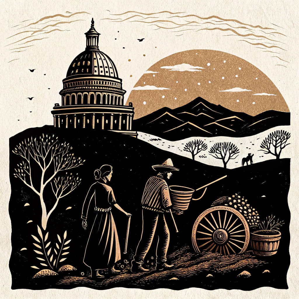
Where people choose to live is rarely random. Across every US state, population clusters around resources: water, flat land for farming or building, and access to transportation routes. Mountains, wetlands, and deserts tend to have sparse populations because they are harder to farm, build on, or navigate. Urban areas grow where multiple resources converge , a river crossing, a coastal harbor, a railroad junction , while rural areas reflect landscapes better suited for agriculture or resource extraction.
Fourth graders in the US study their own state's population patterns through census data and regional maps, connecting physical geography directly to human settlement. This aligns with C3 standards D2.Geo.7.3-5 and D2.Geo.8.3-5, which ask students to explain the spatial associations between human and physical systems.
This topic also invites students to think about current and future trends: rising sea levels, drought, and economic shifts are already affecting where people move. Active learning makes population distribution tangible by having students map, analyze, and debate the forces that drive people toward or away from different areas of their state.
Key Questions
- Explain how geographic features influence population density in different areas of our state.
- Compare the advantages and disadvantages of living in urban versus rural areas.
- Predict future population shifts based on current environmental and economic trends.
Learning Objectives
- Analyze state maps to identify patterns of population density and their correlation with physical geography.
- Compare the advantages and disadvantages of living in urban versus rural settings within the state, using specific examples.
- Evaluate how natural resources, such as water or fertile land, have historically influenced settlement patterns in the state.
- Predict potential future population shifts in the state based on current environmental and economic trends.
Before You Start
Why: Students need to be able to recognize and name key geographic features before they can analyze how these features influence where people settle.
Why: Students must be familiar with map elements like keys, legends, and scale to interpret population distribution maps effectively.
Key Vocabulary
| Population Density | A measure of how many people live in a certain amount of space, often expressed as people per square mile or square kilometer. |
| Urban Area | A city or town that has a large population and is a center for business, culture, and government. |
| Rural Area | An area of open land that has few homes or other buildings, often characterized by farms and natural landscapes. |
| Natural Resources | Materials or substances such as minerals, forests, water, and fertile land that occur in nature and can be used for economic gain. |
| Physical Geography | The study of the natural features of the Earth's surface, such as mountains, rivers, and plains, and how they affect human life. |
Watch Out for These Misconceptions
Common MisconceptionPeople only move to cities because of jobs.
What to Teach Instead
While employment is a major driver, people also consider proximity to family, cost of living, access to healthcare, and climate. Examining multiple push-pull factors in a group investigation helps students see that migration decisions are complex and often involve competing priorities.
Common MisconceptionRural areas have fewer people because they are less important.
What to Teach Instead
Rural areas produce food, timber, energy, and other resources that support the entire state. Low population density reflects land use patterns, not economic or social value. Maps showing agricultural output alongside population density make this connection concrete.
Common MisconceptionPopulation patterns stay the same over time.
What to Teach Instead
Population distribution shifts constantly in response to economic changes, environmental conditions, and infrastructure development. Historical maps of a state from 1850, 1950, and today can show students how dramatically distribution has changed and open discussion about why.
Active Learning Ideas
See all activities→Gallery Walk
Population Map Analysis
Post four maps of your state , physical geography, major water bodies, economic activity, and population density. Students rotate through and record connections: where are people concentrated, and what physical or economic feature explains it?
Think-Pair-Share
Urban vs. Rural Trade-offs
Show two photographs , one of a dense urban neighborhood, one of a rural farming community. Students think about one advantage and one disadvantage of each setting, discuss with a partner, then share with the class.
Inquiry Circle
Future Population Shifts
Groups receive a one-page brief on a current environmental or economic trend affecting their region (e.g., water scarcity, coastal flooding). They predict how this might shift population distribution in 50 years and annotate a state map with their reasoning.
Real-World Connections
- City planners in state capitals like Austin, Texas, use population density maps and geographic data to decide where to build new schools, parks, and roads to serve growing communities.
- Farmers in the Central Valley of California choose where to locate their farms based on the availability of fertile soil, access to water from rivers or aqueducts, and proximity to transportation routes for selling their crops.
- Geographers working for the U.S. Census Bureau analyze population distribution to understand demographic shifts and inform policy decisions about resource allocation and representation.
Assessment Ideas
Provide students with a simplified map of your state showing major rivers, mountains, and cities. Ask them to draw one circle around an area with high population density and one circle around an area with low population density. For each circle, they should write one sentence explaining why people might live there or not live there, referencing a geographic feature or resource.
Pose the question: 'Imagine our state is experiencing a severe drought. Which types of areas (urban or rural) do you think would be most affected, and why?' Encourage students to support their answers by referencing specific geographic challenges or resource dependencies discussed in class.
Display images of different landscapes within the state (e.g., a bustling city skyline, a vast cornfield, a mountainous forest, a coastal area). Ask students to hold up a card or use a digital tool to indicate 'urban' or 'rural' for each image and briefly explain their choice, connecting it to population patterns.
Frequently Asked Questions
Why do most people in our state live near cities?
What is population density and how is it measured?
How does geography affect where people build towns and cities?
How does active learning help students understand population distribution?
Planning templates for State History & Geography
5E Model
The 5E Model structures lessons through five phases (Engage, Explore, Explain, Elaborate, and Evaluate), guiding students from curiosity to deep understanding through inquiry-based learning.
Unit PlannerThematic Unit
Organize a multi-week unit around a central theme or essential question that cuts across topics, texts, and disciplines, helping students see connections and build deeper understanding.
RubricSingle-Point Rubric
Build a single-point rubric that defines only the "meets standard" level, leaving space for teachers to document what exceeded and what fell short. Simple to create, easy for students to understand.
More in Our State's Geography
Identifying Major Landforms & Regions
Students identify major landforms (mountains, valleys, plains, deserts, coastlines) and understand how they divide the state into distinct regions.
8 methodologies
Understanding Climate Zones & Patterns
Students explore how elevation, latitude, and proximity to water create different weather patterns and growing seasons across the state.
8 methodologies
Natural Resources: Use & Conservation
Students identify the state's natural resources (forests, water, minerals, fertile soil) and investigate historical and contemporary patterns of their use and overuse.
8 methodologies
Interpreting Maps & Geographic Data
Students learn to use cardinal directions, scales, and legends to locate our state and its major cities, and to represent spatial data.
8 methodologies
Human Impact on the Environment
Students investigate how people modify their environment through dams, irrigation, and urban development, and analyze the resulting consequences.
8 methodologies
Understanding Geographic Tools
Students learn to use various geographic tools like globes, atlases, and digital maps to gather and interpret information about the state.
8 methodologies